PATHWAY SAFETY AND IMPROVEMENT PROJECT

Welcome to the Charles River Esplanade, home to the most-visited state park pathways in Massachusetts! 

The Esplanade’s pathways see over 3 million people every year, from baby strollers and dog walkers, to green commuters and athletes on wheels.  

In recent years, the Massachusetts Department of Conservation & Recreation (DCR) and the Esplanade Association have worked in partnership to better understand park pathway usage and improve safety for park visitors.

    PROJECT TIMELINE

    The 2019 Pathway Safety & Improvement Plan 

    In 2018, the Esplanade Association commissioned transportation planning firm Nelson\Nygaard to conduct an analysis of the Esplanade’s pathway network and propose projects to improve safety for the park’s visitors. In November 2019, the Esplanade Pathway Safety & Improvement Plan was completed. 

    We did a lot of research to get there, most notably studying the: 

    The Esplanade Pathway Safety & Improvement Plan provided project partners with an assessment of pathway materials, measurements, conditions, and challenges, and it proposed solutions informed by best-practice multi-use pathway design. 

    The 2020 Esplanade Visitor Survey

    In the year after the Plan was released, we asked nearly 800 of you, Esplanade visitors: How could we help improve the park’s facilities & infrastructure? Two-thirds of respondents requested a focus on pathway use and safety.  

    In 2021, the Esplanade Association and DCR entered our 20th year of partnership with several proposed initiatives to address pathway safety, supported by years of state, local, industry, and community-based participatory research.

    Copy-of-IMG_0558-1-scaled

    The 2022 Pathway Safety Pilot Project 

    In 2022, DCR and the Esplanade Association moved forward with conceptual designs for a paint-focused Pathway Safety Pilot Project in partnership with Stoss, Nelson\Nygaard, Neighborways, and Precision Data Industries.  

    The project was faced with a few design challenges due to the Esplanade’s unique pathway layout, and uniquely wide range of user groups on wheels. Among the Esplanade’s 3 million annual visitors are people on wheels moving at very different speeds, from scenic hoverboard tours, to wheelchair racers, and children out for their first wobbly bike rides. Qualitative, quantitative, and anecdotal data have shown us that not all visitors on wheels are represented by the familiar bike symbol, and they may not all feel safe riding on the same path due to differences in travel speed.

    These questions led us to a design framework that is focused on speed rather than the mode of transportation — one pathway for visitors who want a slower, more scenic route, and one pathway for visitors looking for a high-paced, efficient route — with indicators to help people slow down and look out for one another in the areas where those pathways converge.

    In October 2022, the painted designs were painted at the Massachusetts Avenue Ramp, at the four-way intersection near the Esplanade Playspace, and along the ramps and pathways at the base of the Fanny Appleton Footbridge — all locations that prior reports showed as having safety challenges.

    If you would like to share feedback with us, please send us an email at info@esplanade.org, and stay tuned for more information as the Pathway Safety Pilot Project continues into its next phase! 

    2022 Pathway Safety Symbols: What Do They Mean?

    In October 2022, DCR and the Esplanade Association partnered with consultants at design firm Stoss, transportation planners at Nelson\Nygaard, and traffic calming experts at Neighborways to design and install our Pathway Safety Pilot project, bringing new painted symbols to 4 Esplanade intersections. The symbols were vetted with the help of colleagues who are experts in regional pathway and bikeway safety: WalkBoston, the LivableStreets Alliance, MassBike, and the Boston Cyclists Union.

    The design framework is focused on speed rather than a mode of transportation — one pathway for visitors who want a slower, more scenic route, and one pathway for visitors looking for a high-paced, efficient route — with indicators to help people slow down and look out for one another in the areas where those pathways converge. White stripes act as multi-directional crosswalks, green swaths indicate pathway decision points for fast-path travelers, and playful LOOK symbols encourage careful pathway merging. 

    You can find further descriptions of the various pathway symbols here!

    Pathways Data Collection

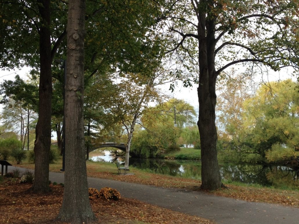
    Data collected before and after the October 2022 Pathway Safety Pilot Project showed that the interventions at the Mass Ave and Playspace project sites drove a set of a positive behavioral changes for park visitors. These changes suggest that low-cost interventions such as pathway painting can have a significant impact on promoting safer pathway use for park visitors.  

     At Mass Ave, the top speed of visitors using micromobility devices (a category which includes bikes, scooters, rollerblades, and other personal transportation options) decreased by 13%, and the number of visitors on wheels travelling in the fastest speed category (above 18MPH) was reduced by 30%. The data collected after the installation of the pathway safety pilot project at Mass Ave showed that an increased number of park visitors chose to dismount from their bikes and walk them up the ramp, indicating a positive shift towards safer and more considerate behavior on the pathway. 

     While accidents on the Esplanade are rare, we tracked “near misses” to see how often visitors might come close to one. We were pleased to see that after the intervention, near misses between micromobility device users and pedestrians at Mass Ave decreased by 11%. Additionally, yielding behavior at Mass Ave increased by 4%, a desired result wherein visitors visibly slowed down to make room for others on the path.  

     At the Playspace, the pathway painting led to an 11% increase in people choosing to turn towards the Paul Dudley White Shared Use Path as opposed to continuing straight on the slower-speed, more scenic riverside path. More study is needed to evaluate the travel speeds of these additional visitors on the Paul Dudley White Shared Use Path.  

     This data was captured during two 24-hour periods before and after the painting occurred, and much of the data highlighted here is focused on the peak use hours of 8:00 – 9:00am and 5:00 – 6:00pm. We thank our project partners at Precision Data Industries and Neighborways for capturing, analyzing, and sharing this dataset.  

     While the sample sizes were relatively small, we are heartened by the results and look forward to engaging all visitor communities as we plan our next round of Pathway Safety projects on the Esplanade. 

      2023 Crosswalks Project

      In late 2023, EA contracted a local traffic management firm to install two new crosswalks at Dartmouth St and Fairfield St intersections! Integrating community feedback,  we also installed new Stop signs and Yield signs at both crosswalks. See project photos here and enjoy safe crossings.

      Stay tuned for yearly crosswalk re-paints to maintain aesthetics and safety of park visitors.

      2024 Research Project

      In 2024, we re-engaged with Stoss & Nelson/Nygaard, the firm that led our 2022 pilot painting project, to help survey cities and greenspaces comparable to ours. Their work culminated in a comprehensive best practices report on pathway safety. This initiative resulted in the Model Cities Report, which highlighted the innovative approaches to pathway safety and traffic mobility employed by various cities and greenspace organizations.

      2025 Pathway Safety Paint Project

      Diagram showing two pavement markings. The upper marking is a downward-pointing triangle with the word “SLOW” above a large exclamation mark. Below it is a rectangular marking with the word “LOOK” and arrows pointing left, right, and up. A label above indicates a spacing of 5 feet between the two markings.

      In October 2025, the Esplanade Association and contractor Quality Pavement Markings applied a series of safety symbols at 41 locations across the Esplanade’s 64 acres. 

      This project builds on the success of the 2022 pilot paint project and the 2024  Model Cities Report by expanding use in the park of the two most impactful symbols from the paint pilot, and following the Model Cities Report’s top recommendations for the Esplanade.

      Designs created in partnership with DCR by Stoss, Nelson\Nygaard, and Neighborways.

      Location of 41 symbols across Esplanade

      Location of 41 symbols across Esplanade

      The new Slow and Look symbols aim help all park visitors slow down and look out for one another in key areas: 

      1. Places where the scenic riverside path and the higher-speed Paul Dudley White path converge
      2. At Storrow Drive curb cuts where vehicles may be entering/exiting the park, and
      3. Approaching footbridge ramps, playgrounds, and other park amenities.

      Slow Symbol Before and After

      Look Symbol Before and After

      BeforeAfter
      BeforeAfter